EDM Survey Equipment and Instruments
Instruments
The value of a survey lies in the information your project team can use. Equipment is part of that process, alongside the brief, access to the site, the measurement method and checks on the resulting data. At 360 Surveys NI, we discuss the purpose of the survey before agreeing what needs to be recorded and delivered.
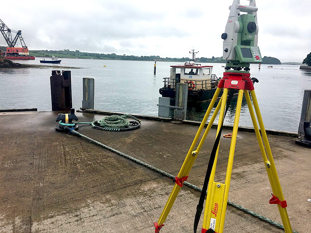
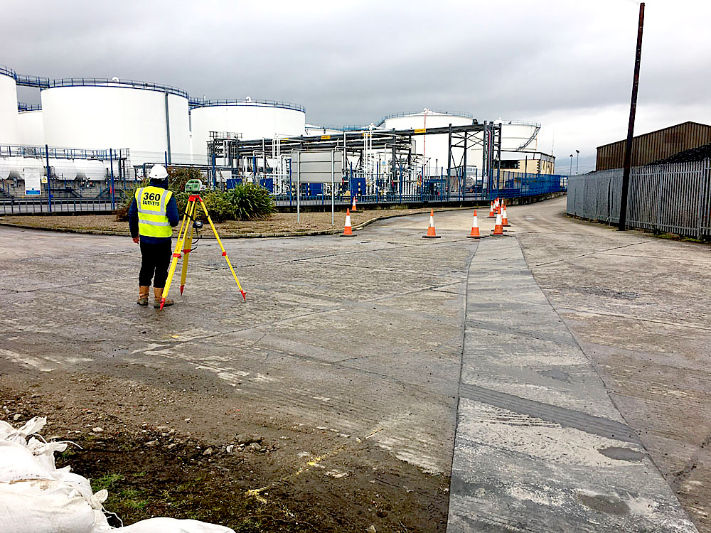
Our existing equipment includes electronic distance measurement technology in standard and reflectorless total stations. These instruments support the collection of three-dimensional measurements, which are recorded electronically for subsequent processing. The appropriate method depends on the features being surveyed and the conditions at the site.
What EDM means in surveying
EDM stands for electronic distance measurement. It is the distance-measuring part of a total station, working alongside the instrument's angle measurements. Together, these observations allow a surveyor to calculate the position of a feature relative to the survey reference. The resulting coordinates can support a plan, an elevation or a record of site levels.
Distance is only one part of the picture. The instrument must be set up and referenced appropriately, and the surveyor must identify the feature being measured. A clear brief helps distinguish between information needed for a general site plan and the closer detail required around a doorway, wall junction or proposed connection.
What a total station does
A total station combines angle and distance measurements to establish positions. Within a suitable survey reference, those measurements can be used to record features on the ground or relate design positions to a site. The instrument is a tool within a wider survey process, rather than a guarantee that every project has the same measurement requirements.
Reflectorless measurement can be useful where an appropriate surface can be observed without placing a target directly on it. Whether that approach is suitable depends on conditions and the required outcome. Access, visibility and the feature itself all matter when planning how measurements should be taken.
Accuracy starts with the brief
Different projects need different levels of detail and accuracy. A plan for an initial site discussion has a different purpose from information used for a particular construction activity. That is why a useful enquiry explains what the information will be used for and includes any specification from the designer.
We do not apply one headline accuracy figure to every service. The required tolerance, reference system and deliverable should be agreed for the work in question. If a project has a specific survey standard or contractual requirement, send it before the quotation is prepared so the scope can be considered properly.
What practical accuracy means for your drawing
An instrument specification alone does not describe the accuracy of a completed survey. Setup, control, visibility, the observed surface and the way measurements are checked all contribute. A drawing may display coordinates to several decimal places, but those digits are not a promise that every feature has been established to that precision.
Tell us which relationships are critical to the design. A tie-in to an existing structure may need a different approach from a broad record of surrounding ground. Agree the required accuracy and coverage before fieldwork, then read the issued drawing's notes and limitations alongside its linework. This helps the design team understand what it can rely on and where further measurement may be needed.
Site control and consistent references
Measurements need an understood reference if they are to be combined with other project information. Site control and level references allow different observations to relate to one another. Their suitability and continued availability are particularly important where a project involves repeat visits or several survey activities.
Provide any existing control information with its source and reference details. A mark that has been disturbed during construction should not be assumed to retain its original position. The project team should discuss how references will be checked, protected and communicated between the people who use them.
Processing and checking survey information
Once fieldwork is complete, the recorded data is transferred for processing and quality checks. This stage turns measurements into the agreed drawings or other deliverables. It also provides an opportunity to review how the recorded information relates to the brief and to identify relevant limitations.
A useful drawing tells the recipient what it represents. Coverage, survey date, references and notes about inaccessible areas help the next person use it appropriately. The file format should suit the project team, with any additional outputs agreed rather than assumed to be included.
Choosing a survey for your project
A topographical survey records land features and levels. A building survey can provide measured information about an existing structure. Drone surveying can contribute aerial information where the site and required output make it appropriate.
EDM records visible features; it does not identify what is buried beneath them. Where underground information is needed, discuss a separate investigation scope and how it will relate to the surface drawing.
The choice should follow the project question, rather than the name of a particular instrument. Tell us what you are planning, what drawings are available and who will use the results. Based in Portadown, we discuss projects across Northern Ireland and Ireland, including Belfast, Armagh and Craigavon.
Request a survey quote to discuss coverage, methods and deliverables. Clear information at the start helps define a survey that supports the work your team needs to do.