Services
360 Surveys Ltd offers a wide range of professional surveying services across Ireland, utilising the latest technology.

Instruments
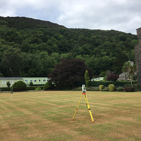
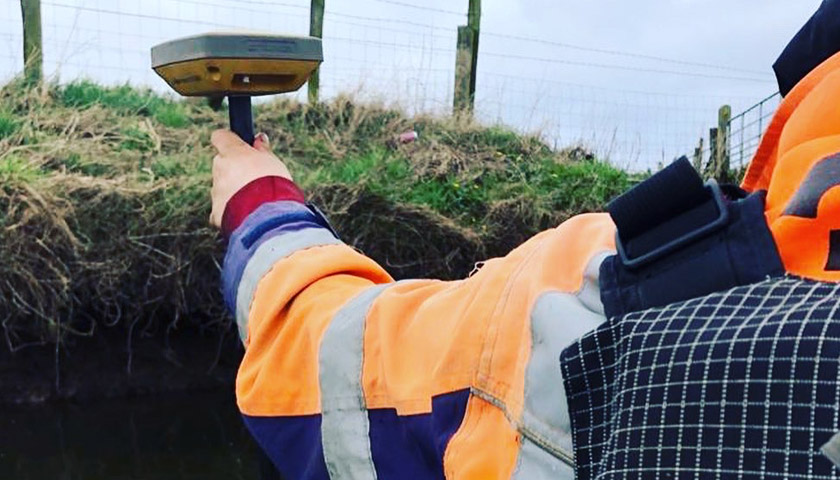
We use cutting-edge Electronic Distance Measurement (EDM) technology, with both standard and reflectorless Total Stations, as our primary tool for precise data capture.
Surveys
360 Surveys Ltd delivers a full range of expert surveying services across Ireland, powered by the latest technology for unmatched precision.
Topographical Survey Northern Ireland
A topographical survey in Northern Ireland gives your project team a measured record of the land before design decisions are made. 360 Surveys NI surveys natural and man-made features, presenting the agreed information as drawings or digital data that can be used by architects, engineers and other project professionals.
Based in Portadown, we work across Northern Ireland and Ireland, including Belfast, Armagh and Craigavon. Whether you are planning a house, extending an existing site or preparing a larger development, start with a survey brief that explains what the design team needs to know about the ground and its surroundings.
What a topographical survey records
A topographical survey records the position and levels of features within an agreed area. Depending on the brief, these may include buildings, roads, paths, fences, walls, trees and changes in the ground surface. Spot levels, contours and other information help describe the shape of the site.
The survey is a measured snapshot taken at a particular time. Its value comes from the relationship between the recorded features, the chosen reference system and the detail required for the project. A plan that is suitable for an early feasibility study may need a different level of detail from one commissioned for detailed design.
A topographical survey does not automatically establish legal ownership, reveal every underground service or provide a ground investigation. Make those requirements explicit so the appropriate additional work can be discussed.
Who needs this service?
Architects use site information to develop layouts and understand the relationship between a proposal and existing features. Engineers need levels and measurements for their design work. Developers, landowners and public bodies may need a reliable base plan before deciding how to proceed with a site.
A homeowner considering an extension can also benefit from an agreed measured record, particularly where changes in level, nearby features or limited access affect the design. The right scope depends on the project rather than simply on whether the client is a business or an individual.
If an architect or engineer is already appointed, ask them to help define the survey boundary, required features and output format. That gives the surveyor a clear brief and reduces the risk of commissioning information that does not answer the designer's questions.
Defining the area and level of detail
Mark the survey area on a plan and explain the proposed use of the information. Include any adjoining features that the design team needs, subject to access and permission. The red line of an ownership plan is not necessarily the same as the area a designer needs surveyed.
Think about which levels are important and which features must be shown in detail. A drainage proposal, access design and building layout may each place different demands on the survey. Explain any required coordinate reference, level datum or project specification at the quotation stage.
We can then discuss what can be recorded, how access affects coverage and where additional investigation may be appropriate. Do not assume that an item is included because it appeared on a previous survey for a different site.
How the site survey is carried out
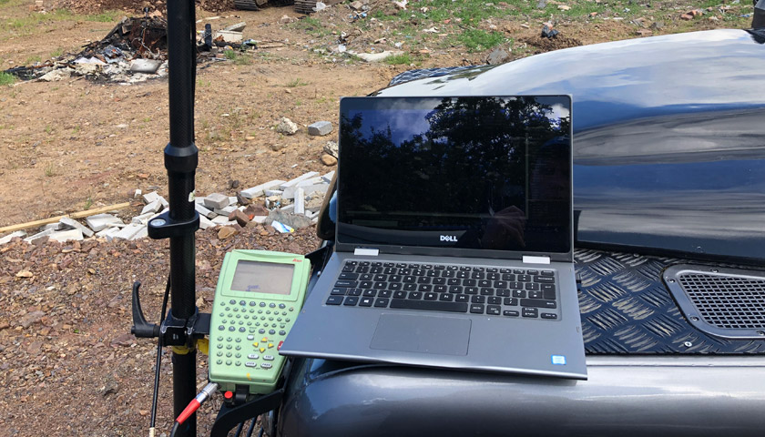
The process begins with the agreed scope and available site information. Field measurements are collected using suitable survey methods, then processed and checked for the required deliverables. Our existing equipment information describes electronic distance measurement using total stations and the transfer of field data for processing and quality checks.
The method depends on conditions and the information required. Clear access and sight lines can matter, as can vegetation, traffic and occupied areas. A site visit should be planned around these constraints instead of assuming the whole site is equally accessible.
If the scope changes during the work, the implications should be discussed. Recording an additional area, returning after clearance or providing a different output can involve work beyond the original brief. Agreeing that change protects both the programme and the usefulness of the finished survey.
Drawings, levels and digital deliverables
The deliverable should be agreed with the people who will use it. Some projects need a PDF drawing for review alongside CAD information for design. Others may require additional digital information, with the level of detail and format stated in advance.
Confirm the drawing scale, reference system and level datum. These details help the design team relate the survey correctly to other information. A clearly labelled file is more useful than an apparently detailed drawing whose reference or coverage is uncertain.
When the survey is issued, review its notes as well as its graphical content. Limitations, inaccessible areas and the date of survey matter. If your team needs a format or element that is not in the agreed deliverable, raise it rather than inferring information from something that was not measured for that purpose.
Our client base includes:
- Architects
- Consulting & Civil Engineers
- County & Borough Councils
- Developers
- Educational Establishments
- Housing Associations
- Highways and Environment Agencies
- Health Authority
- Utility Companies
What a topographical survey costs
Topographical survey cost depends on the area, site conditions and the detail required. Size matters, but it is not the only factor. A smaller congested site with restricted access can involve different work from a larger open area.
To obtain a useful quotation, send the site address, a plan showing coverage, the purpose of the survey and any specification from your designer. Include information about access, vegetation, working hours and the output formats required. If the work is time-sensitive, give the date the design team needs the information.
Request a site-specific quotation so the scope and price can be considered together. A daily rate alone does not tell you what coverage, checking or drawing preparation is included.
The quotation should explain the agreed scope and any exclusions. Ask how extra coverage or a return visit would be handled if circumstances change. Comparing like-for-like survey briefs is more useful than comparing prices where the level of detail, coverage and deliverables differ.
Preparing for the visit
Identify who can provide access and answer questions about the site. Confirm any induction arrangements, keys, restricted areas and operational activities that need to be considered. If work will take place near roads or within an occupied facility, explain the relevant site arrangements before booking.
Send existing plans with their source and date identified. Let us know about recent alterations, clearance or construction that may make older information incomplete. If there are areas that cannot currently be accessed, discuss whether the survey can proceed in stages or whether preparation is needed first.
Do not clear vegetation or disturb a site solely on an assumption about survey requirements. Agree the necessary preparation with the relevant project professionals. The aim is to make the required features accessible while respecting the site's constraints and responsibilities.
Combining topographical and other surveys
Surface mapping is often one part of a wider brief. A building survey can provide measured plans, elevations or sections where an existing structure is central to the project. Underground utility surveys address a different question and should be scoped separately from surface features. Our GPR survey service also covers concrete scanning before coring and void or sinkhole detection.
For suitable sites, drone surveying may contribute aerial information. The choice of methods should follow the required deliverable and site conditions, rather than the assumption that one technique can replace all others.
Our surveying services also include setting out and as-built work. These relate to later stages of a project, translating design information to site and recording completed features. Discussing those future needs can help establish a consistent reference for the project from the beginning.
Working across Northern Ireland and Ireland
From Portadown, we discuss projects throughout Northern Ireland and the Republic of Ireland. Clients in Belfast, Armagh and Craigavon may have very different sites, but each benefits from a clear brief, coordinated access and a defined output.
For an urban plot, explain restrictions such as neighbouring properties, busy access routes and limited working space. For a rural site, describe access, terrain and vegetation. If a project spans several parcels of land, clarify permissions and whether all areas can be visited under one arrangement.
Request a topographical survey quote with your site plan and project details. If you are not yet sure what to request, tell us the decision your designer needs to make. We can discuss the survey information that may be relevant without assuming a larger scope than the project requires.
Frequently asked questions
What is a topographical survey used for?
It provides a measured record of site features and levels for activities such as feasibility, planning and design. The coverage, detail and deliverables should be agreed around the needs of the project team.
How much does a topographical survey cost?
The cost depends on coverage, detail, access, site conditions and required outputs. Send a marked-up plan, the address and the purpose of the survey for a tailored quotation.
Does the survey show underground utilities?
A surface survey does not automatically include underground utility detection. If buried services are relevant, request a separate utility investigation scope and agree how its findings will align with the topographical information.
Can the survey determine my legal boundary?
A survey can record physical boundary features within its scope, but those features do not by themselves establish legal ownership. Explain any boundary-related purpose so the required professional input can be considered.
Can you provide information for my architect or engineer?
Yes, the deliverable can be scoped around your designer's requirements. Provide the requested formats, reference system, level datum and feature specification before the survey is quoted.
Surveys