
Drone Surveying Services Across Ireland
At 360 Surveys, we use the latest drone surveying technology to deliver precise, reliable data for construction and engineering projects across Ireland. Our dedicated teams of professional surveyors and computer processing staff have supported architects, consulting engineers, county councils, developers, utility companies, housing associations, and many other clients throughout the years.
Whether you need a topographic survey for a new road scheme, a roof inspection for a housing portfolio, or a full site map for a large-scale development, our drone surveying services give you the data you need, faster and at a lower cost than traditional methods.
What Is Drone Surveying?
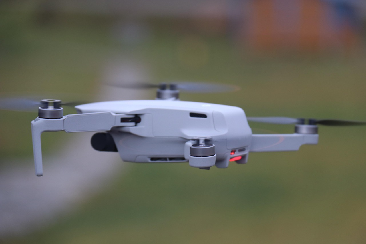
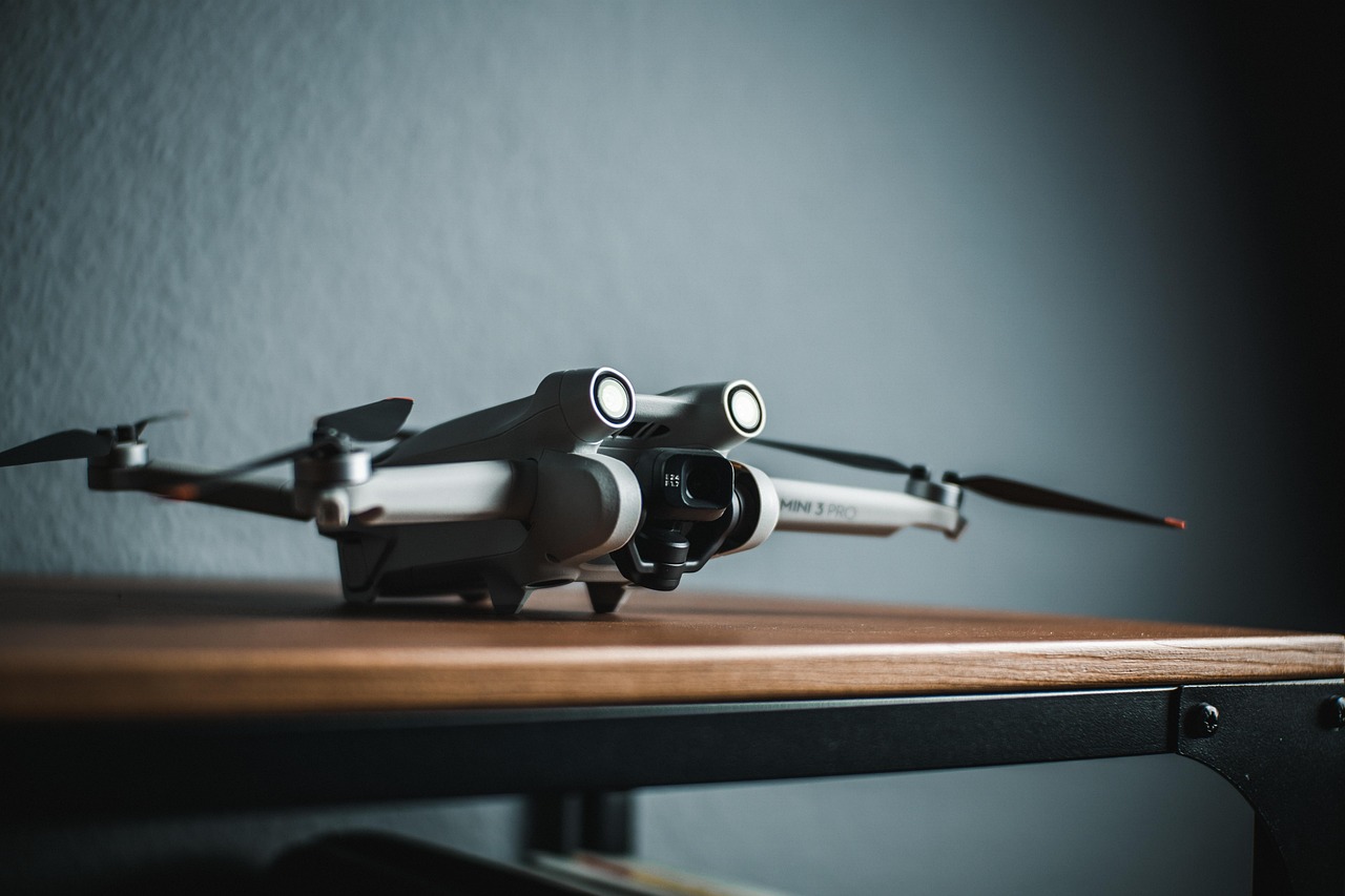
Drone surveying is a modern method of collecting detailed data about land, buildings, and construction sites from the air. We use unmanned aerial vehicles (UAVs) fitted with high-resolution cameras, GPS systems, and laser sensors to capture thousands of images and data points during a single flight. Our processing teams then turn that raw data into accurate maps, 3D models, and terrain reports.
Unlike traditional surveying, which often requires a large team on the ground using heavy equipment over several days, drone surveying can cover the same area in just a few hours. This makes it a faster, safer, and more affordable option for a wide range of projects. From housing developments and road schemes to quarry management and environmental monitoring, our drones are helping clients across Ireland work smarter every day.
Why the Industry Is Moving to Drones
The UK drone market was estimated to be worth around £3.075 billion in 2025 and is expected to reach approximately £6.376 billion by 2030, growing at a rate of around 12 per cent each year. The UK government has also announced a Flight Action Plan that outlines how drones and electric aircraft could provide an economic boost of £45 billion by 2030.
The reason is simple. Professionals need accurate, up-to-date site information, and drones deliver it quickly. Traditional land surveying methods can be slow and labour-intensive, whereas drones fitted with high-resolution cameras and LiDAR sensors can cover large areas at speed and provide precise data for site analysis and planning. A drone can survey up to 120 acres per hour, compared with roughly five acres per hour using ground-based methods. That kind of efficiency keeps your project on time and within budget.
How Our Drone Survey Process Works
We follow a clear, step-by-step process on every project to make sure you get the most reliable results.
Flight Planning. Before a drone takes off, our survey team plans the flight path using specialist software. We set the area to be covered, the altitude, the image overlap percentage, and the speed. Most of our surveys use at least 75 to 80 per cent image overlap so that no detail is missed.
Data Capture. During the flight, our drone takes hundreds or even thousands of overlapping photographs. Some of our drones also carry LiDAR sensors, which send out laser pulses to measure distances and elevation. GPS receivers on board record the exact position of every image or data point.
Processing. After the flight, our processing teams feed the images and data into photogrammetry or LiDAR software. This builds outputs such as orthomosaic maps, digital surface models (DSMs), digital terrain models (DTMs), and 3D point clouds.
Delivery. We deliver final outputs in industry-standard formats that work with common design and engineering software like AutoCAD, Revit, and Civil 3D.
Drone Property Surveys: A Smarter Way to Inspect Buildings
Our drone property surveys are becoming the preferred choice for building inspections, roof assessments, and condition reports. Traditionally, checking a roof or the upper parts of a building meant hiring scaffolding, cherry pickers, or rope access teams. This was expensive, time-consuming, and carried safety risks.
With our drones, a qualified pilot can capture detailed images of every part of a building in a fraction of the time. High-resolution cameras pick up cracks, missing tiles, water damage, damp patches, and structural movement that might be invisible from ground level. We can also fit thermal imaging cameras to spot heat loss and moisture issues that the naked eye cannot see.
For property developers, housing associations, and health authorities working across large portfolios, our drone property surveys offer a consistent, repeatable way to assess building condition without putting anyone at height. The results come back faster, the reports include clear visual evidence, and the overall cost is often far lower than traditional inspection methods.
Aerial Mapping Survey: Creating Accurate Maps from Above
Our aerial mapping survey service produces detailed, geo-referenced maps of a site or area using data collected from our drones. These maps are far more detailed than standard satellite images and can achieve centimetre-level accuracy when the right equipment and techniques are used.
Photogrammetry with professional cameras can produce surveys with absolute accuracies down to 1 cm horizontally and around 3 cm vertically. Our drone-based LiDAR mapping often achieves accuracy within the 1.5 cm range, depending on flight altitude and sensor calibration.
This level of detail is extremely useful across many applications. Civil engineers use our aerial mapping survey data to plan road alignments, drainage schemes, and foundation layouts. Architects use it to understand existing site conditions before designing new buildings. Councils and highways agencies rely on it for infrastructure planning and maintenance. Environmental consultants use it to monitor land changes over time.
Our aerial mapping survey technology fits perfectly into our existing workflow, adding speed and precision to the topographic and measured building surveys that our clients across Ireland already depend on.
Key Benefits of Working with Us
Speed. Our drones can cover a large site in hours rather than days. This means less downtime for your site teams and faster turnaround on survey data. When decisions need to be made quickly, having up-to-date information is priceless.
Cost Savings. By reducing the number of people, the amount of equipment, and the time needed on site, our drone services bring down the overall cost of surveying for your project.
Safety. Our drones remove the need for your people to work at height, walk across unstable ground, or enter hazardous areas. This directly lowers the risk of accidents and injuries on site. For clients like health authorities, highways agencies, and utility companies, this matters a great deal.
Accuracy. Our drones are fitted with RTK GPS, LiDAR, and high-resolution cameras that produce data meeting or exceeding the accuracy of traditional ground-based methods. This means fewer errors, less rework, and better-informed design decisions.
Repeatability. Because our drone flights follow a pre-programmed path, surveys can be repeated at regular intervals to track changes over time. This is especially useful for monitoring construction progress, measuring stockpile volumes, and assessing earthworks.
LiDAR vs Photogrammetry: Which Technology Is Right for Your Project?
We use two main technologies for drone surveying: photogrammetry and LiDAR. Each has its strengths, and we will recommend the best option based on your specific project.
Photogrammetry uses overlapping photographs taken by a camera mounted on the drone. Our software then processes these images to create 2D maps, 3D models, and point clouds. It works best in open areas with good light and minimal vegetation. It is generally more affordable and produces visually rich, photo-realistic outputs.
LiDAR uses laser pulses to measure distances. It can penetrate through trees and vegetation to capture ground-level data, making it ideal for wooded or overgrown sites. It also works well in low-light conditions. LiDAR tends to produce greater detail in vertical measurements and on complex terrain.
Both technologies can achieve centimetre-level accuracy. We often use a combination of both depending on the needs of the project, so you always get the most appropriate and cost-effective solution.
Who We Work With
Our drone surveying services support a wide range of clients across many different sectors.
Architects use our drone data to understand site topography, existing buildings, and surrounding context before starting a design. Accurate 3D models and maps save time during the planning stage and reduce the risk of design clashes later on.
Consulting and Civil Engineers rely on our drone surveying for topographic surveys, earthwork calculations, drainage design, and infrastructure planning. The speed and accuracy of our data helps them make better decisions and keep projects on schedule.
County and Borough Councils use our drones for asset inspection, road condition surveys, flood risk mapping, and planning enforcement. We provide a cost-effective way to manage large areas of public infrastructure.
Developers benefit from fast site assessments, progress monitoring, and volumetric calculations. Regular drone flights help track construction milestones and provide visual evidence for stakeholders and investors.
Utility Companies use our drones to inspect power lines, pipelines, and telecoms infrastructure. Our drones can reach difficult locations safely, reducing downtime and keeping workers out of harm’s way.
Educational Establishments and Housing Associations use our drone property surveys for building condition assessments, maintenance planning, and capital works programmes.
Fully Regulated and Compliant
Flying a drone for commercial survey work requires proper training and authorisation. In the UK, the Civil Aviation Authority (CAA) sets the rules for drone operations. In Ireland, the Irish Aviation Authority (IAA) oversees drone regulations.
Our drone pilots hold the right qualifications, carry appropriate insurance, and follow strict operating procedures. These include maintaining safe distances from people, buildings, and other aircraft. Before every flight, we complete a detailed risk assessment. When you work with 360 Surveys, you can be confident that every operation meets the highest professional and regulatory standards.
How to Get the Most from Your Drone Survey
Here are a few tips to help you get the best results from working with us.
Be clear about your requirements. Tell us exactly what you need the data for. Different end uses call for different levels of detail, accuracy, and output format. A topographic survey for a road scheme will need different specifications from a roof inspection for a housing association.
Plan for ground control. For the highest accuracy, we may need to place ground control points (GCPs) around the site before flying. These are marked points with known coordinates that help calibrate the drone data during processing.
Think about timing. Weather, light conditions, and site activity can all affect the quality of a drone survey. We will advise on the best time to fly to get the most accurate results for your project.
The Future of Drone Surveying
Drone surveying technology continues to advance at a rapid pace. Improvements in sensor quality, battery life, autonomous flight planning, and AI-powered data processing are making drones even more powerful and accessible.
Integration with Building Information Modelling (BIM) is also growing. Drone-captured data can now feed directly into BIM workflows, giving architects and engineers a complete digital picture of both existing conditions and proposed designs. This joined-up approach reduces errors and improves coordination between project teams.
At 360 Surveys, we already combine traditional surveying expertise with cutting-edge drone technology, and we are continuing to invest in the latest tools and training to keep our clients ahead.
Ready to Book a Drone Survey?
If you are looking for professional drone surveying, drone property surveys, or an aerial mapping survey anywhere in Ireland, we are here to help. With experienced surveying teams, advanced processing capabilities, and a strong track record serving architects, engineers, councils, developers, and utility companies, we have the expertise to support your project from start to finish.
Get in touch today to discuss your project or request a quote.