Services
360 Surveys Ltd offers a wide range of professional surveying services across Ireland, utilising the latest technology.

Instruments
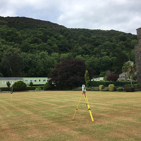
We use cutting-edge Electronic Distance Measurement (EDM) technology, with both standard and reflectorless Total Stations, as our primary tool for precise data capture.
Surveys
360 Surveys Ltd delivers a full range of expert surveying services across Ireland, powered by the latest technology for unmatched precision.
Comprehensive Surveying Services
Topographical Surveys:
Topographical surveys are true to scale maps, drawings, models and 3D files which include all natural and man-made features. These features are represented by contours, text, symbols, and spot levels.
Underground Utility Surveys:
Identifying the location and depth of underground utilities, such as water, gas, electricity, and telecommunications, is crucial for any construction or infrastructure project. Our specialized utility survey services utilize a range of techniques, including ground-penetrating radar and electromagnetic induction, to accurately map the subsurface infrastructure.
Building Surveys:
Whether you’re planning a renovation, extension, or demolition project, our building survey services provide detailed measurements and assessments of existing structures. Our surveyors use the latest laser scanning and photogrammetry techniques to capture accurate as-built drawings of interior and exterior building features.
Advanced Survey Techniques
At 360 Surveys, we utilise the latest survey technology to ensure the most accurate and efficient data capture. Our primary tools include:
- Electronic Distance Measurement (EDM) Total Stations: Providing high-precision measurements of both reflective and non-reflective targets.
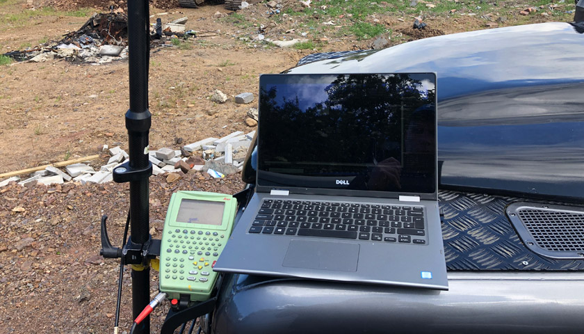
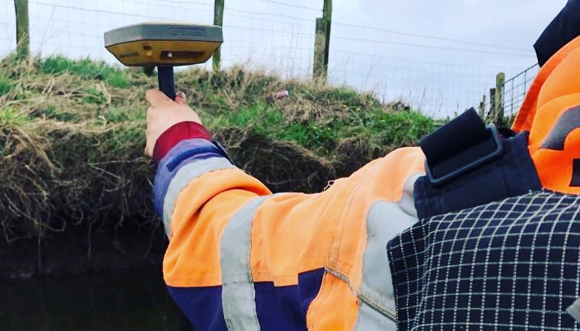
- GNSS (GPS) Surveying: Enabling accurate positioning and mapping of features in open environments.
- Laser Scanning: Quickly capturing dense 3D point cloud data for detailed surveys of complex environments.
Our client base includes:
- Architects
- Consulting & Civil Engineers
- County & Borough Councils
- Developers
- Educational Establishments
- Housing Associations
- Highways and Environment Agencies
- Health Authority
- Utility Companies
Trusted by Leading Clients
Our diverse client base includes a wide range of industry professionals, from architects and civil engineers to local authorities and utility companies. We have delivered thousands of successful topographical survey projects across Ireland, ranging from small residential properties to large-scale infrastructure developments.
Get a Quote for Your Topographical Survey
Surveys